Weminuche Wilderness
Located 17 miles northeast of Durango, the Weminuche Wilderness is the largest wilderness area in Colorado. With 499,771 acres to get lost in, explorers will find the magic of the American West right at their fingertips — and it’s right in Durango’s backyard. Designated by Congress in 1975, the Weminuche Wilderness is Colorado’s ultimate playground.
Visitors can hike, horseback, camp, backpack, climb, and peak bag during the summer months.
In the wintertime, there are opportunities to backcountry ski and snowboard, ice climb, cross-country ski, and snowshoe.
Things to Do in the Weminuche Wilderness
Hiking

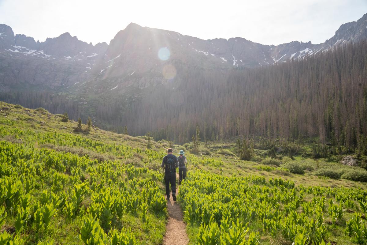
Undoubtedly, the Weminuche Wilderness is Colorado’s hiking paradise. There are 31 trailheads and hundreds of miles of well-maintained trails to explore — including segments of the Continental Divide Trail and Colorado Trail.
One of the most popular and accessible hikes is to Fourmile Falls via the 3.1-mile Four Mile Stock Drive Trail.
Horseback Riding
Equestrians will be overjoyed at the sheer amount of opportunities to take their mounts out into the Weminuche Wilderness. Some of the best horseback riding trails near Durango are the 20.4-mile Pinos River Trail to Emerald Lake and 10.2-mile Cave Basin Trail. These trails see very little mountain biking activity, so owners of easily-spooked horses should rest easy when planning their trip.
Camping and Backpacking

For campers, there are three campsites near Durango: the Lemon Reservoir campsite, Vallecito campsite, and Vallecito Reservoir campsite. Before setting up camp, please be mindful of each campsite’s restrictions and regulations.
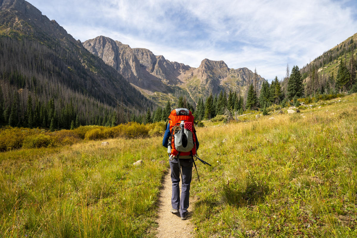
For backpackers, the best options closest to Durango are the 10.3-mile Purgatory Flats Trail and the 12.7-mile Vallecito Creek Trail. There is free, dispersed camping allowed along both trails.
Additionally, these trails take backpackers close to Chicago Basin, which is home to the three 14ers in the Weminuche Wilderness: Mount Eolus (14,083 feet), Sunlight Peak (14,059 feet), and Windom Peak (14,082 feet).
Peak Bagging

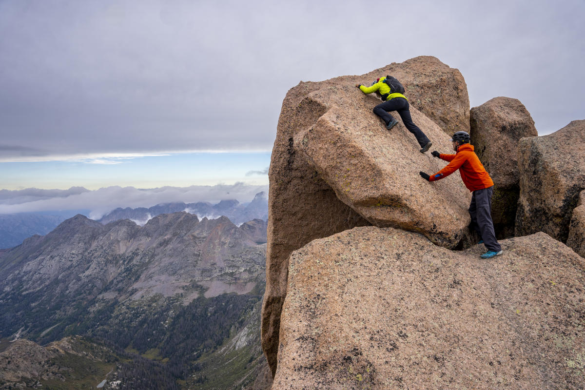
Just 40 miles north of Durango, Chicago Basin has three 14ers to summit: Mount Eolus (14,083 feet), Sunlight Peak (14,059 feet), and Windom Peak (14,082 feet). The best way to access this mountain range is to take the 10.3-mile Purgatory Flats Trail to Chicago Basin and then take the established social trails by Twin Lakes up to the peaks.
Alternatively, visitors looking to add some spice to their trip can ride the Durango & Narrow Gauge Railroad to Needleton, the entrance to Chicago Basin. This undoubtedly saves peak baggers both time and sore legs.
Backcountry Skiing and Snowboarding
The Weminuche Wilderness has world-class backcountry skiing and snowboarding routes. The best way to access the backcountry in the winter is to head out on County Road 243 and set off at Lemon Reservoir. From there, you can make your way to Sheridan Peak and either make your way to Sheridan Mountain (12,795 feet) for a quick descent down its northwest couloir or proceed directly to the West Needle Mountains to the north.
Please bring an avalanche beacon with you during your trip and let someone know your trip itinerary.
Cross Country Skiing & Snowshoeing
There are numerous opportunities for cross-country skiing and snowshoeing in the Weminuche Wilderness. However, the most popular spot near Durango is the 12.7-mile Vallecito Creek Trail due to its gentle grade and low avalanche risk.
That being said, be aware of avalanche safety and best practices, and remember that mountain slopes are not the only place where avalanches can occur.
Ice Climbing
There are some ice climbing chances, provided conditions permit. The most popular ice and mixed climbing routes in the Weminuche Wilderness near Durango are Hossenfeffer Falls, Rattus Floridus, and El Pero Loco.
Educate yourself about ice climbing best practices before heading out on your adventure.
Maps and Site Resources
-
A high-level overview of the Weminuch Wilderness via usda.gov
-
A list of ice climbing routes in the Weminuche Wilderness via mountainproject.com
-
An overview of the Vallecito Creek Trail via durangotrails.org
-
Avalanche Conditions via Colorado Avalanche Infomation Center
Travel Tips for the Weminuche Wilderness
-
Avoid blisters and stop by Pine Needle Mountaineering in Durango to get properly fitted hiking boots or trail shoes for your adventure.
-
Stop by Raider Ridge Cafe in Durango to pick up snacks for your trip.
-
The sun is much stronger at higher altitudes, so apply and reapply sunscreen liberally every two hours.
-
If you plan on going into the backcountry, leave an itinerary of your trip with someone you trust. Also, bring a satellite-capable communication device if you can afford it.
-
Bring plenty of water and food with you.
-
If you plan on bagging peaks, get an early start to beat the afternoon storms.
Care for Durango
-
Know and obey the fire restrictions before heading out.
-
Do not disperse camp within 100 feet of any water source.
-
Please pack out all trash and waste, including your pet's waste.
-
Protect fragile alpine environments and stay on marked trails.
-
Follow Leave No Trace (LNT) principles.
-
Do not pick the wildflowers.
-
Do not engage with or feed the wildlife.
-
Dogs must be leashed or otherwise physically restrained. Do not leave pets unattended.
-
Store your food in a designated bear cache, vault, or hang.
-
Stay on Designated Trails only
-
Carry the appropriate navigation equipment
-
Weather can change quickly; check the weather before your trip


